Hiking
Šenk's
homestead in Jezersko, which is surrounded by the Kamnik – Savinja Alps on one side and with the Karavanke mountain range on the other, is a real paradise for nature lovers and hikers.
Here, all visitors can find something for themselves.
For
families with small children, elderly people and anyone that is not a fan of
longer hikes, there is a theme trail
through the Ravenska kočna valley, equipped with info boards, tables and benches.
The theme trail is also accessible with wheelchairs and strollers. It offers
beautiful views to the mountain peaks. Peaceful, pleasant and not too steep
roads also leads around the farms of Ravenska kočna, to the center of the
village, up to the Old church of St. Oswald and from Jezersko pass to Ank
Mountain.
For all the
detailed descriptions of the strolls mentioned above, please visit link.
All
enthusiastic hikers, however, can
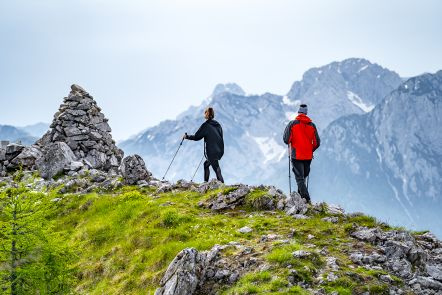
choose from a range of different hiking options. For families and recreational
hikers, there are numerous peaks from north and west of Jezersko. They offer shorter and less demanding trails that also takes you to the scenic peaks, just
above the forest border. Each of the peaks offers a unique view. Goli vrh, Pristovški Storžič, Virnikov
Grintovec and Veliki vrh can be reached on foot from Šenk’s homestead. Stegovnik and less known Kozji vrh are accessible from Spodnje
Jezersko, a few minutes ride from our farm.
Detailed
descriptions of the mentioned hikes can be found in link.
The Kamnik – Savinja Alps offer even more options for easy,
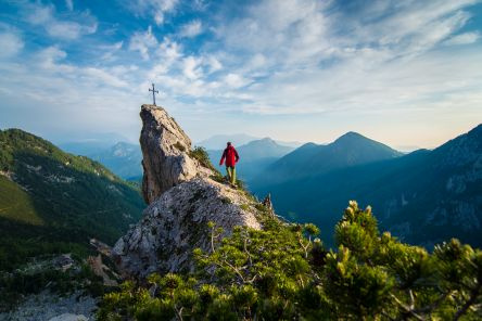
short hikes and longer, high – altitude tours. From all the tours mentioned
bellow, you can start directly from our homestead. Češka koča – a 120-year-old beauty on Spodnje Ravni, can be
a pleasant hike itself, or oly a stop on the way to Grintovec, Kočna and Dolg
hrbet. On the neighbouring slope, across Žrelo, stands Kranjska koča na Ledinah, which serves as a rest point for hikers
to Skuta, Rinke and Velika Baba.
In both
cottages, they offer drinks, traditional
food and accommodation. They are also accessible to less experienced hikers.
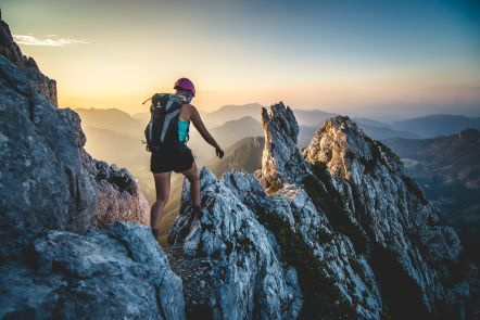
The peaks above them, however, require hikers with good equipment, excellent
physical fitness and mountaineering experience. The routes are very difficult,
sometimes exposed and equipped with steel cables.
You can
read more about the difficult routes in link.
Another
mountain, accessible from Jezersko is Storžič,
a pyramid peak that rises above Preddvor. The starting point is in Spodnje
Jezersko in the Dol – Podstoržič valley.
All the
listed peaks are points of the Jezersko
mountain trail. If you are planning to visit them all, you can buy the
booklet on Šenk’s homestead or in Tourist office.
For
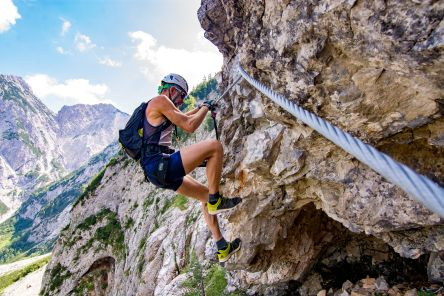
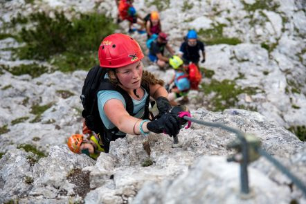
adrenaline – seeking experienced mountaineers, there is a secured climbing
route – via ferrata, that also takes
you to Češka koča. To climb ferrata, hikers need all the usual mountaineering
equipment and self – protection ferrata set, which can be borrowed on our
homestead.
More
details about ferrata Češka koča is on the link.
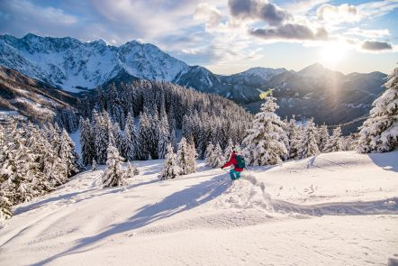
In winter, Jezersko also attracts hikers
and touring skiers. Some lower, forested
peaks are safe for skiing right after the snowfall in real winter conditions. Goli vrh is one of the most popular,
because it is one of the safest from avalanches, because it is overgrown with
forest. For the steepest and more
exposed slopes, the best season is
in spring.
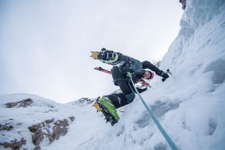
In the
right winter conditions, two waterfalls, that can be climbed are formed bellow
Češka koča – Vikijeva sveča and Sinji
slap.

Slovenia Outdoor Association awarded us with the sign Three Hikers. This ranks us among the best accommodations for hikers in Slovenia. The sign means that we have an infrastructure adapted to hikers, that you will get maps and advice about tours, that we can arrange a hike with a mountain guide, we offer you various hiking programs, the possibility of transfer, option for relaxing in saunas after the hike, quality organic food, equipment rental,...
For easier and safer movement in the mountains, we advise you to use the
maPZS application or website. There you can find hiking trail maps, with up-to-date information on open huts and closed or damaged trails.